Understanding Artificial Satellites
How the satellites that watch the Earth, connect the world, and navigate the planet actually work — the orbits they use, what they do, who operates them, and how the space age began. Built on real satellite data that reuses the platform's agencies, rockets, and launch sites; nothing is fabricated.
In pictures
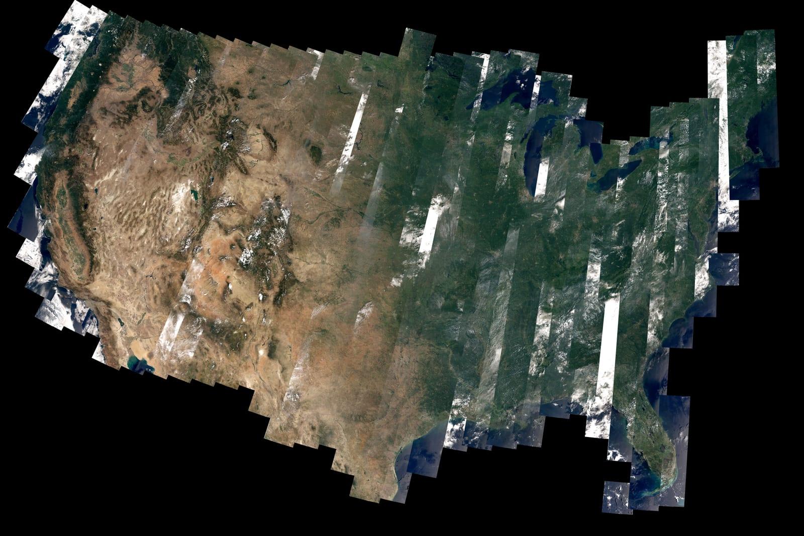
- 1.1What is a satellite?An object placed in orbit to do a job — communications, imaging, navigation, or science.
- 1.2Low Earth orbitThe busy, low-latency regime where the ISS and most Earth-observation and broadband satellites fly.
- 1.3Geostationary orbitWhy parking a satellite over the equator makes it appear fixed in the sky.
- 1.4The first satellitesExplorer 1, Vanguard 1, TIROS-1, Telstar, and the milestones that opened the space age.
- 2.1Communications satellitesFrom the first transatlantic relay to today's broadband constellations.
- 2.2Navigation systemsHow GPS, Galileo, GLONASS, and BeiDou fix your position from medium Earth orbit.
- 2.3Watching the EarthLandsat, the Sentinels, Terra, and Aqua — the satellites that map a changing planet.
- 2.4Weather from orbitThe geostationary and polar satellites behind every modern forecast.
- 3.1Satellite constellationsWhy some jobs need dozens or thousands of coordinated satellites instead of one.
- 3.2Scientific satellitesMeasuring gravity, ice, soil moisture, and clouds to understand the Earth system.
- 3.3Who operates satellitesThe agencies, civil bodies, and companies that build, launch, and run the fleets.
- 3.4Seeing satellites tonightUse the computed Live Sky dashboard for what is genuinely overhead — this encyclopedia states no pass times.
Related entities
- Satellite
Landsat 8
A NASA/USGS Landsat satellite carrying the Operational Land Imager and Thermal Infrared Sensor, continuing the multi-decade land-imaging record.
- Satellite constellation
Starlink
SpaceX's low-Earth-orbit broadband internet constellation, the largest ever built, delivering global high-speed connectivity.
- Satellite constellation
GPS (Global Positioning System)
The United States' global navigation satellite system, providing worldwide positioning, navigation, and timing from medium Earth orbit.
- Orbit type
Low Earth Orbit (LEO)
The region of space from roughly 160 to 2,000 km altitude, where a satellite circles the Earth in about 90 minutes. Low latency and easy access make it the busiest orbital regime.